The Best Hikes in San Francisco (Yes, in the City)
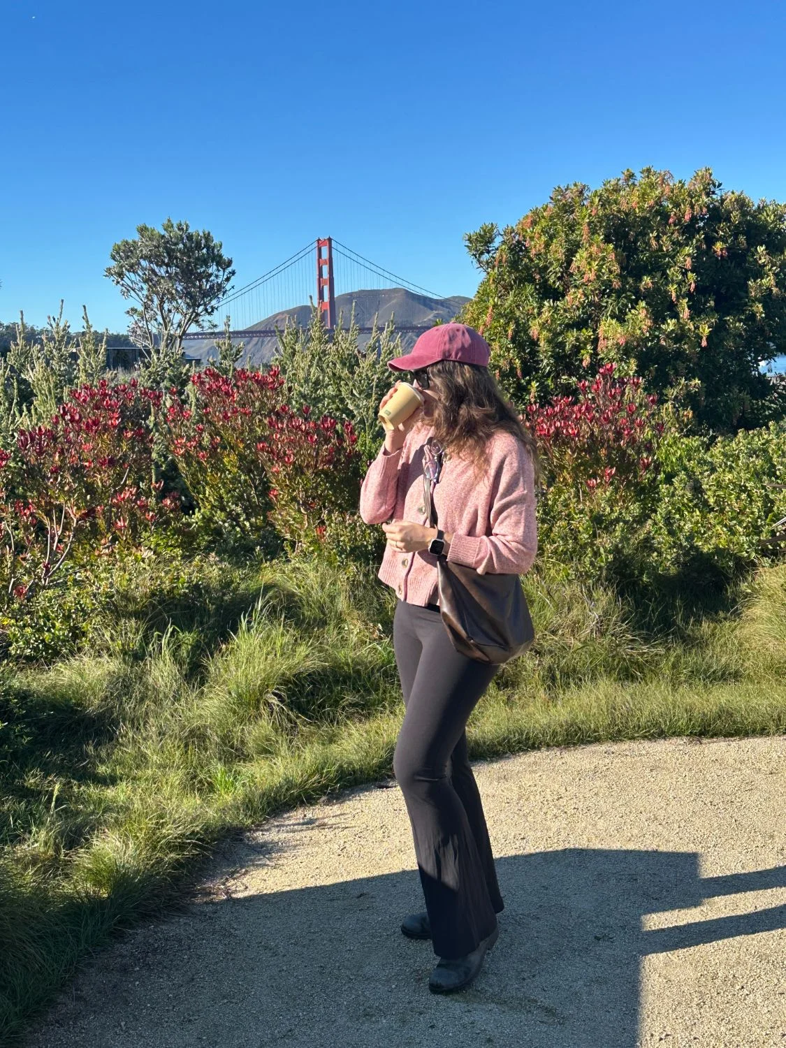
People assume you have to leave San Francisco to hike. Meanwhile, the city has a 17-mile trail running corner to corner, a national park stapled to its north end, and enough summit parks that I own hiking boots for commuting reasons.
The best hikes in San Francisco range from the 17-mile Crosstown Trail (the full-city flex) to the Presidio’s trail network, the flat Marina-to-bridge waterfront walk, and Lands End’s cliffside loop past the Sutro Baths ruins. Here’s the list — plus the lookout hills for when you want the view without the mileage.
1. The Crosstown Trail — the Whole City in One Day
The big one: 17 miles corner to corner, from Candlestick Point in the southeast to Lands End in the northwest, stitching together McLaren Park, Glen Canyon, the 16th Avenue Tiled Steps, Golden Gate Park, and the Presidio. It works in either direction, the official site has free turn-by-turn directions, and it’s the single best way I know to understand how this city fits together.
Do it as a full day: start in the morning (the average moving time is around seven hours, before snack stops), bring real snacks, and budget for the coffee shops along the way — a couple of them sell merch, which is how you finish a 17-mile day with a souvenir hat. Timing-wise, aim for late August through October: September and October are secretly San Francisco’s warmest, clearest months, and the daylight still cooperates.
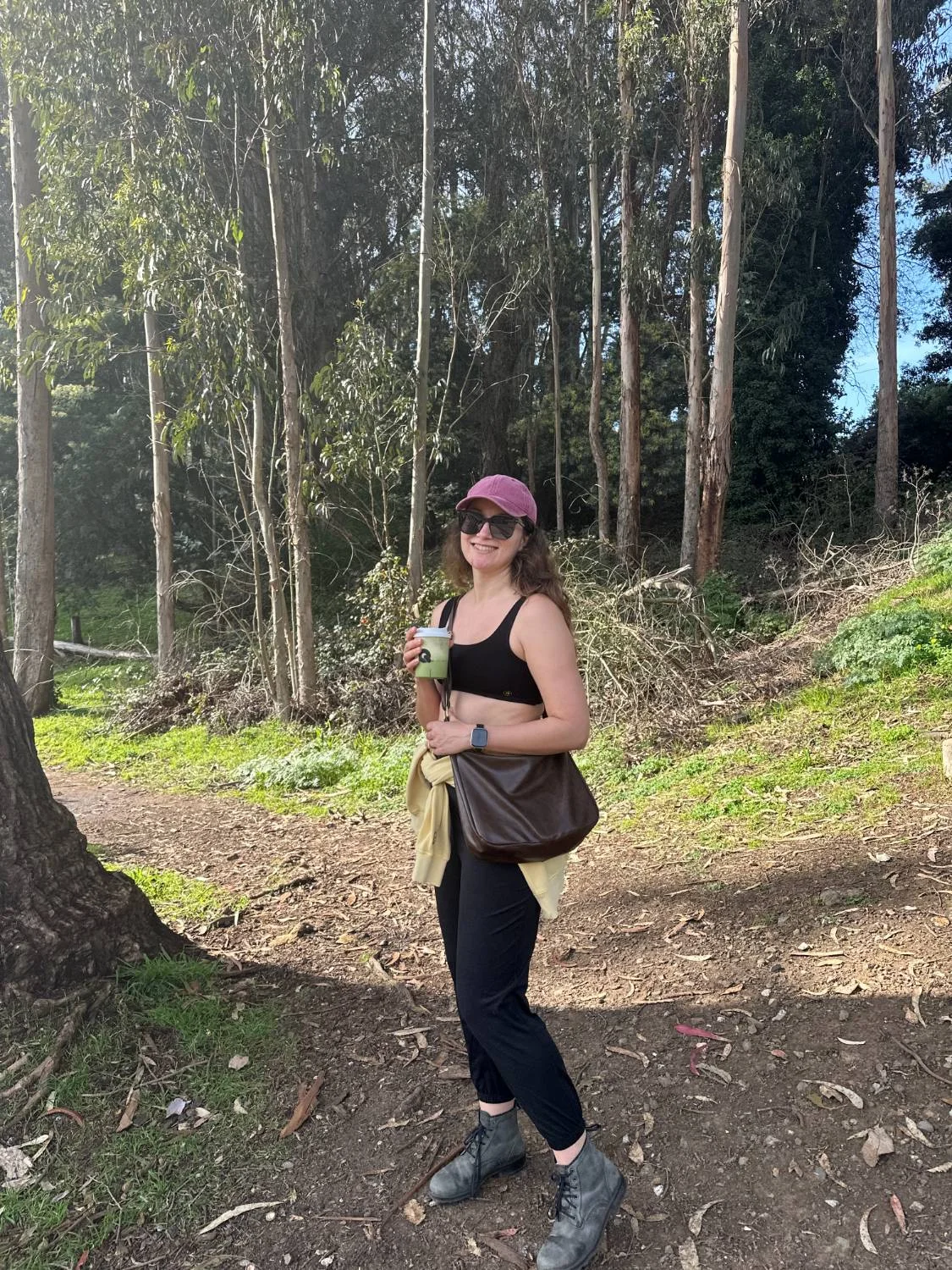
Trail uniform: matcha in hand, eucalyptus overhead.
2. The Presidio — a Trail Network Wearing a Park Costume
The Presidio holds more than two dozen miles of trails, and the named ones are all worth collecting. Lovers’ Lane is the gateway: 0.6 miles of straight, tree-lined calm on San Francisco’s oldest footpath, past Andy Goldsworthy’s Wood Line and a little 1880s brick footbridge. The Ecology Trail climbs 1.4 miles to Inspiration Point. Batteries to Bluffs packs 470 stairs and the best bridge-and-ocean drama per foot into 0.7 coastal miles, and the California Coastal Trail runs 2.7 miles from Baker Beach up to the Golden Gate Bridge itself, sand ladder included.
My standing recommendation: loop whatever combination you like, then end at the Main Post — my favorite brunch in the city happens to live in the Officers’ Club there, and I am nothing if not strategic.
3. Marina to the Golden Gate Bridge — the Flat One
Start anywhere in the Marina, face the bridge, and walk: the Golden Gate Promenade runs flat along the water through Crissy Field — about 3 miles from Marina Green to Fort Point, which sits directly under the bridge deck. Beach on one side, marsh boardwalk on the other, the Warming Hut for provisions near the end. It’s the walk I hand to every visitor on their first morning, because it makes the whole city look like it’s showing off. (It is.)
4. Lands End + the Sutro Baths — the Wild Edge
The Lands End loop runs about 3 miles of cypress-lined clifftop with Golden Gate and Marin Headlands views the entire way — moderately strenuous, endlessly photogenic. Build in time for the Sutro Baths: the ruins of Adolph Sutro’s 1890s glass swimming palace, once seven saltwater pools under one roof, burned down in 1966 and now a hauntingly good place to scramble around at golden hour. Start at the Lands End Lookout, where the parking is.
5. Short and Steep: the Lookout Hills
- Twin Peaks — the classic 922-ft panorama over the whole city and both bridges.
- Mount Davidson — at 938 ft the city’s true summit, up through a eucalyptus forest to the giant concrete cross.
- Bernal Heights Park — a 360-degree summit that stays sunny when Twin Peaks is socked in.
- Corona Heights — a bare red-rock scramble above the Castro with unobstructed downtown views.
- Grand View Park — climb the 163 mosaic risers of the 16th Avenue Tiled Steps on your way up, and get the whole west side at the top.
6. Bonus Forests and Canyons
- Mount Sutro — 5.5 miles of genuine forest trail hiding in the exact middle of the city.
- Glen Canyon Park — a real canyon holding Islais Creek, one of San Francisco’s last free-flowing creeks.
- Fort Funston — 200-ft bluffs over the Pacific, hang gliders overhead, and the happiest off-leash dogs in California.
FAQ: Hiking in San Francisco
How long does the Crosstown Trail take?
It’s 17 miles with around 2,600 feet of climbing — average moving time is about seven hours, so with food stops it’s a true dawn-to-dinner day. You can also hike it one section at a time.
What’s the best time of year to hike in San Francisco?
September and October — they’re the city’s warmest, clearest months, with late August close behind. Summer proper is fog season on the west side. Layers always, regardless of what the forecast promises.
Is there a flat, scenic walk in San Francisco?
The Golden Gate Promenade: about 3 flat miles from Marina Green through Crissy Field to Fort Point, ending directly under the Golden Gate Bridge.
Refueling is a science I take seriously: my best brunch in San Francisco list covers the post-hike table, the farmers markets guide covers the snacks, and if your outdoors leans racket-shaped, here’s where to play tennis.
If you liked this post, you’ll probably like the rest of my life: I’m a writer who settled in San Francisco after five years of working from anywhere (my travel guides cover the anywhere part). Subscribe to my newsletter for more like this — and if you want a work life with room for a Tuesday trail morning, that’s what CozyJobs is for.

Hello! 👋 I’m Amy Suto. I’m a bestselling author, San Francisco content creator, and co-creator of the job board 🛋️ CozyJobs. Join CozyJobs to browse thousands of jobs and get daily matches to your inbox — writing and creative roles front and center!
GET ON THE LIST
Find your next writing job on 🛋️ COZYJOBS — thousands of jobs on a board updated daily, writing and creative roles front and center. ✨ The application tracker is free (basic CozyApply autofill is too), and paid plans start at $25/month with daily job matches straight to your inbox. Real writers are landing real work—don’t miss out.
FOLLOW ME ON GOOGLE
Add me as a preferred source and Google shows you more of my posts in Top Stories.

MY NEW BOOK: WRITE FOR MONEY & POWER
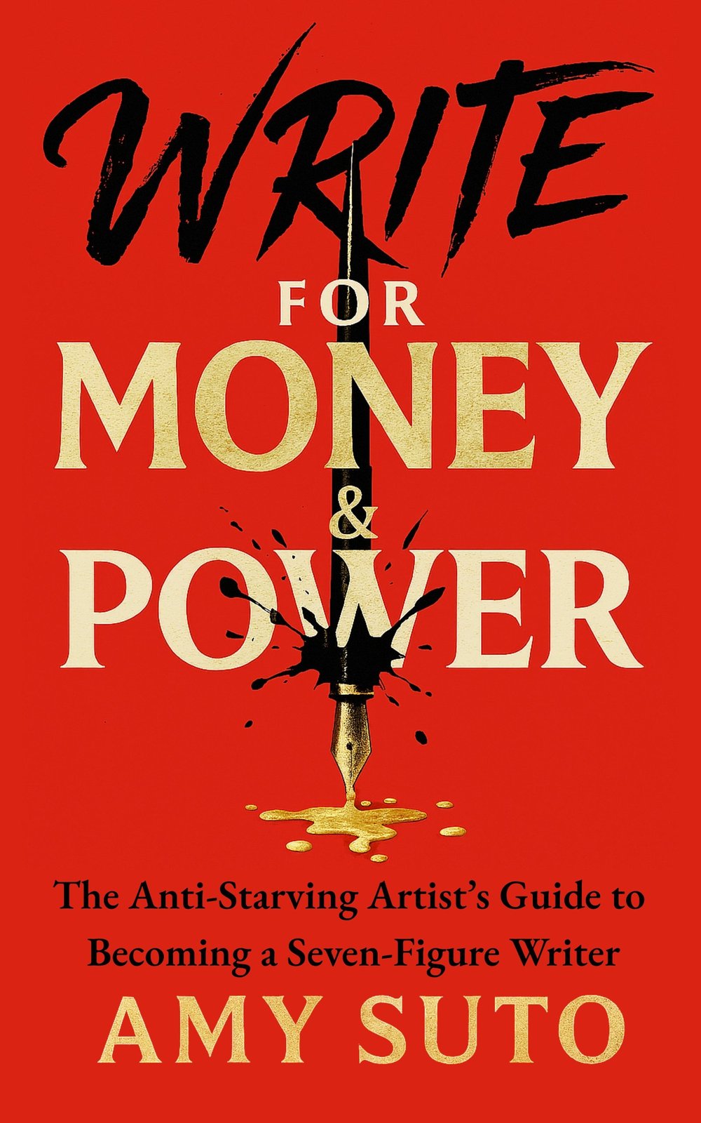
The anti-starving-artist's guide to becoming a seven-figure writer.
MY NEW NOVEL: LET ME BE YOUR GHOST
My romantic thriller arrives November 2026 — a ghostwriter with secrets, a billionaire CEO with more. Preorder one book, get two. Claim your bonus here →
MY ROMANTASY NOVEL: THE ASH TRIALS
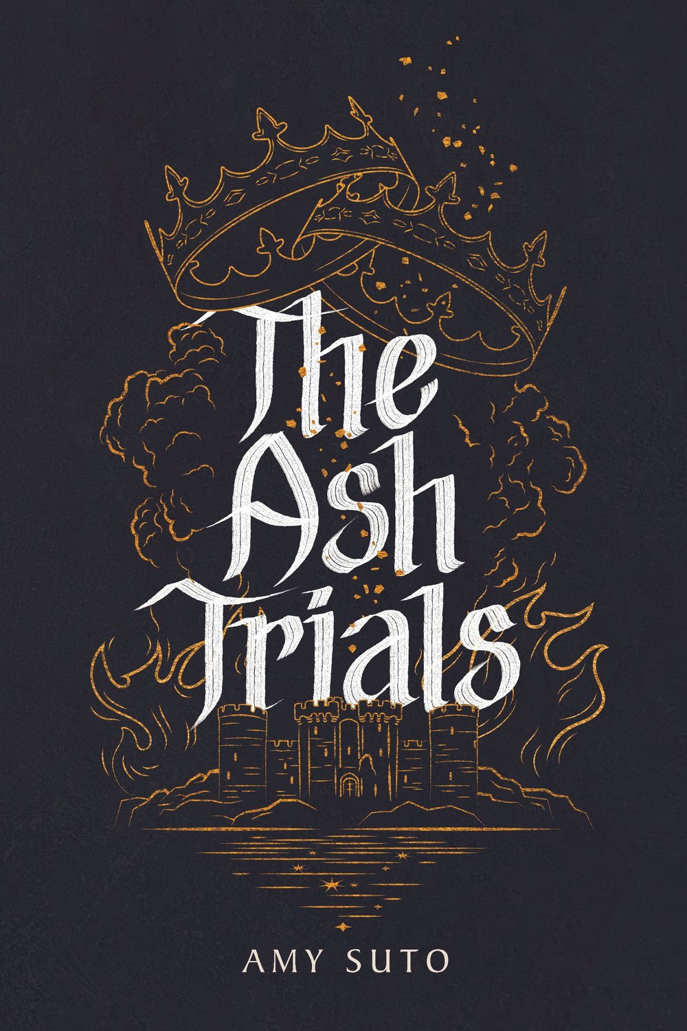
The deadliest game is remembering who you are.
MY DETECTIVE NOVEL: THE NOMAD DETECTIVE
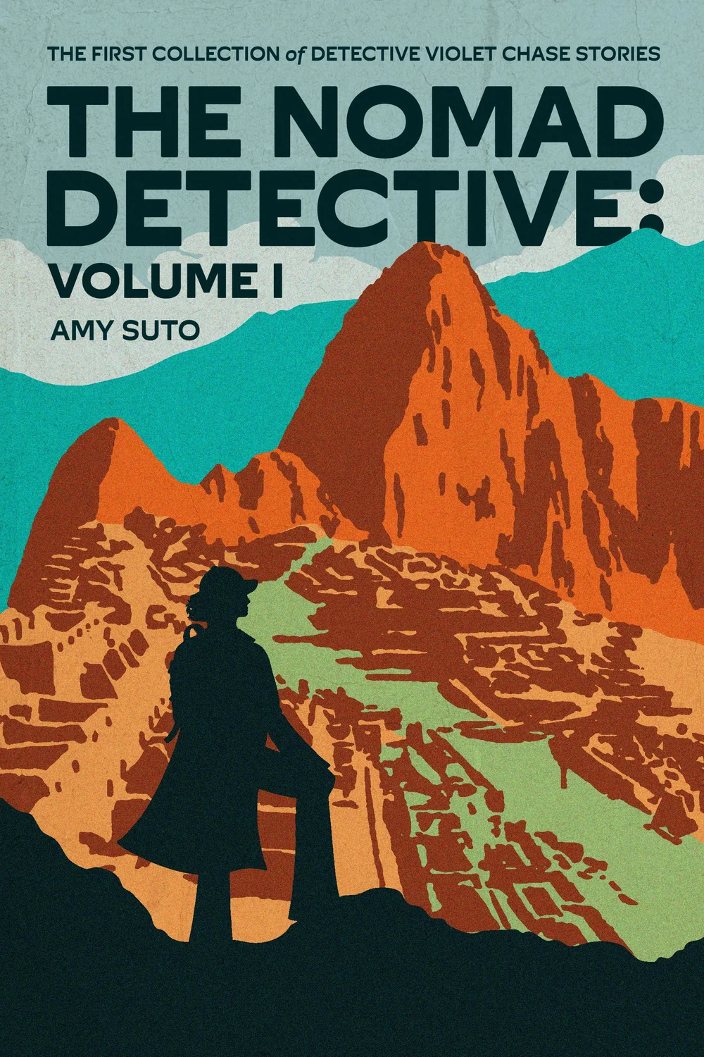
Crime crosses borders, but so does this detective.
MY HOW-TO BOOK: SIX-FIGURE FREELANCE WRITER
Work smarter, not harder — without the burnout.
RECENT POSTS
JOIN THE WRITING JOB BOARD
FOLLOW ME ON IG @SUTOSCIENCE